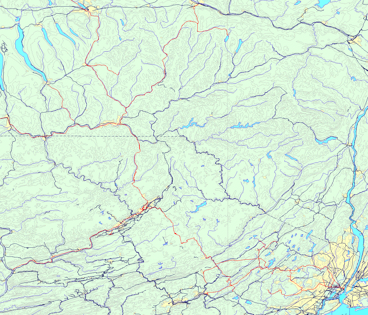
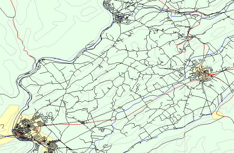
| Proposed Mapping Project: Active maps with attached databases. The following are bitmap examples of maps assembled from digital data found in the public domain. The study comprises the lines of the Delaware Lackawanna & Western Railroad ca. 1950. The rail line data is a product of the FRA and Bureau of Transportation Statistics dated 1998. Map 1) Long abandoned lines of the Lackawanna were edited in using 1:24000 USGS georeferenced raster maps which, in most cases, still show the lines. Where the line has been removed, the grade contours remain. This method keeps the location accurate when the map file is zoomed for detail. Map 2) A portion of (1) showing road detail. Actual map files can be shown in freeware viewers or editors. When loaded with attached databases, layers of objects can be queried. Databases can be tower and block stations, passenger and freight stations, interlockings, junctions, track number, yards, roads, towns, water features. Descriptive information appears in a popup box. Popup boxes can also contain graphics such as photographs and track diagrams. The maps shown are works in progress. If you have an interest in a tool of this nature or wish request to more information, please contact me here or at my email address on the site home page. |
| Map 1: Railroads in northeastern Pennsylvania, northern New Jersey and southcentral New York. DL&W in red lines, others in black. |
 |
| Map 2: Warren County road detail in northwest New Jersey. DL&W in red lines. |
 |
|
Copyright © 2000 Henry J. Sundermeyer |